
8th April: (a) New Record Flood Level
Other pages: [(b) Water Levels] [(c) Photographs] [(d) Weather]
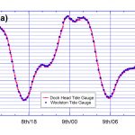
 On the night of 8th to 9th April 2024 the tide was augmented by a storm surge to produce record high water levels at Dock Head and Woolston of 5.70m (all heights are relative to Chart Datum). This was 0.88m higher and 45 minutes earlier than the Environment Agency values for the astronomical high tide. Previous record high water levels were about 5.6m on 10th March 2008 and 14th February 2014.
The high water levels were well predicted by the National Tide and Sea Level Facility storm surge forecast but only by taking into account a mean sea level elevation of about 0.25m. If this sea level anomaly persists, flooding along the south coast of the UK will occur more often.
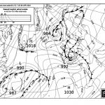
At about 996mb the lowest air pressure in Southampton was not exceptionally low and the inverse barometer effect on the water level of around 20 to 25cm. Winds in the Solent were around 30 knots but with gusts of over 40 kts.
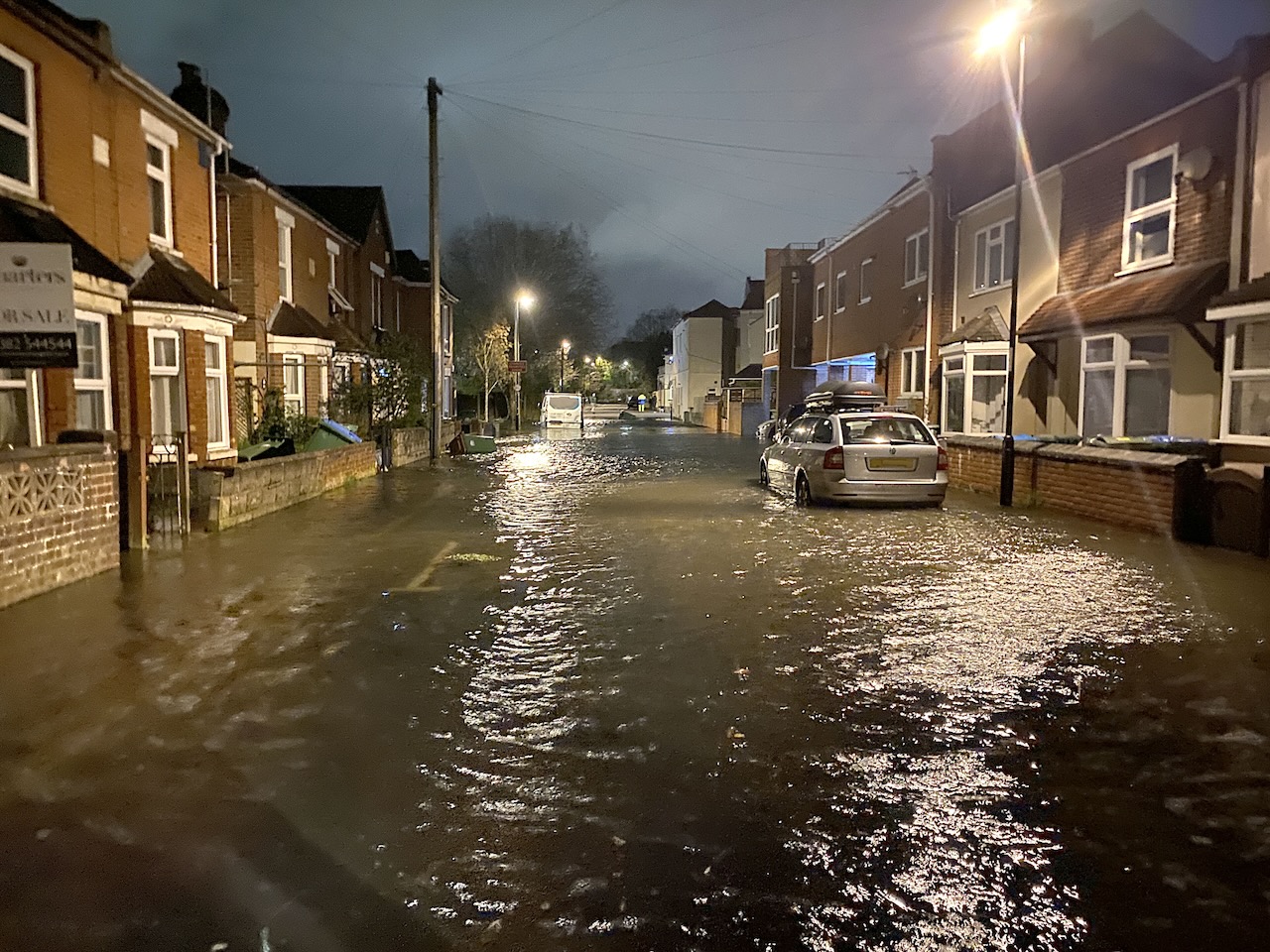
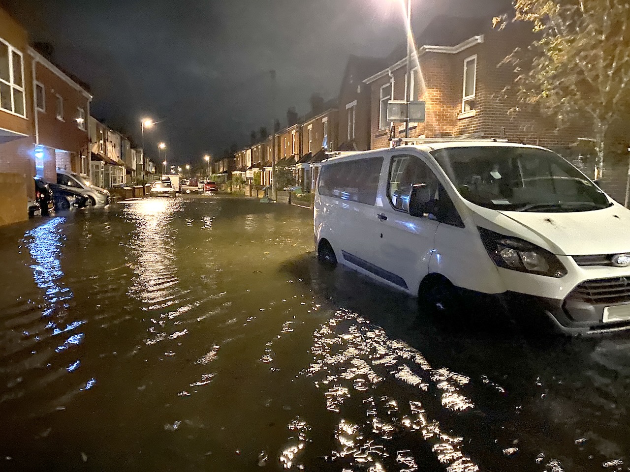
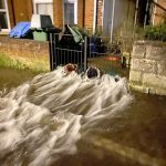
In St Denys the water topped a shed door cill surveyed by differential GPS to be at 5.76m, however this water level may have included a contribution from wave set-up. The extent of Priory and Adelaide Roads which were flooded suggested a water level in the road of 5.5m. This, and the observation that water was still flowing into the road as the level in the riverside gardens decreased, suggests that that there was not time for the road flooding to reach the maximum level in the river. A similar conclusion was reached for 10th March 2008.
Taking the total surge above the astronomical tide to be just under 90cm, some 25cm was due to the sea level anomaly, about 20 to 25cm due to the air pressure (inverse barometer effect), suggesting that 45 to 50cm was caused by the large scale wind field.
Analysis of the event is presented in the following pages:
 |
(a) this introduction and index page |
 |
(b) How high did the water get and how well was it predicted? |
 |
(c) My photos of the floods ( a description of the photos can be opened in a new window to view alonside the photos) |
 |
(d) Weather during the event in particular the air pressure and winds. |
There was also flooding and damage near our NCI stations at Calshot and Stone Point with the beach breached in Lepe Country Park.
[(a) Index Page] [(b) Water Levels] [(c) Photographs] [(d) Weather]