
CSIRO Cape Grim Station
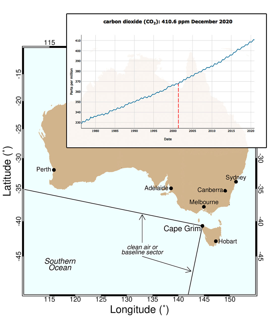
CO2 concentration measured at Cape Grim since 1976 for air originating from the sector shown on the map (CSIRO web site)
Cape Grim is just south of the isolated north-west tip (Woolnorth Point) of Tasmania. As a premier monitoring stations in the World Meteorological Organisation – Global Atmosphere Watch (WMO-GAW) network, the CSIRO Cape Grim Baseline Air Pollution Station has been measuring the composition of the atmosphere since April 1976.
The inexorable rise in CO2 concentrations really is depressing. When we visited (in March 2002) the atmospheric concentration of CO2 was about 368 ppm, it is now (February 2021) around 410 ppm. In other words there has been about a 10% increase in under twenty years and, despite the covid-19 pandemic, despite the climate conferences, it continues to rise at an ever faster rate.
Photo Gallery: the CSIRO Cape Grim Station…
![[01] CSIRO Cape Grim (2 29)](https://seatern.uk/wp-content/uploads/2021/02/Tasmania-2002-2-29-150x150.jpg)
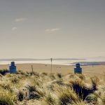
![[02] On The Roof ( 2 19)](https://seatern.uk/wp-content/uploads/2021/02/Tasmania-2002-2-19-150x150.jpg)
![[03] The Air Sampling Mast (2 13)](https://seatern.uk/wp-content/uploads/2021/02/Tasmania-2002-2-13-150x150.jpg)
![[04] Air Sampling Intakes (2 18)](https://seatern.uk/wp-content/uploads/2021/02/Tasmania-2002-2-18-150x150.jpg)
![[05] Base Of The Air Sampling Mast (2 15)](https://seatern.uk/wp-content/uploads/2021/02/Tasmania-2002-2-15-150x150.jpg)
![[06] Air Samples In The Lab (2 24)](https://seatern.uk/wp-content/uploads/2021/02/Tasmania-2002-2-24-150x150.jpg)
![[07] In The Lab (2 17)](https://seatern.uk/wp-content/uploads/2021/02/Tasmania-2002-2-17-150x150.jpg)
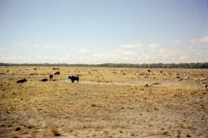
 At the time we visited there were plans to construct a wind farm on the headland to the south. There were concerns that air polluted by the construction work might contaminate the Cape Grim samples (although the site was outside the wind direction sector for sampling). Looking on Google maps nowadays it appears that the wind farm has been constructed. whether there was any problems I do not know.
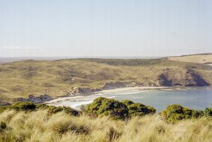
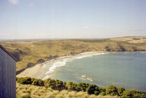
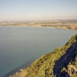
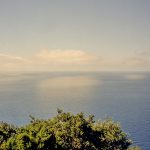
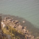
Having been carefully instructed not to walk in the long grass areas due to the presence of Tiger snakes, one of our guides led us across the long grass to look down over the cliffs. He was wearing very strong high leather boots and we were told to each walk in his foot steps.
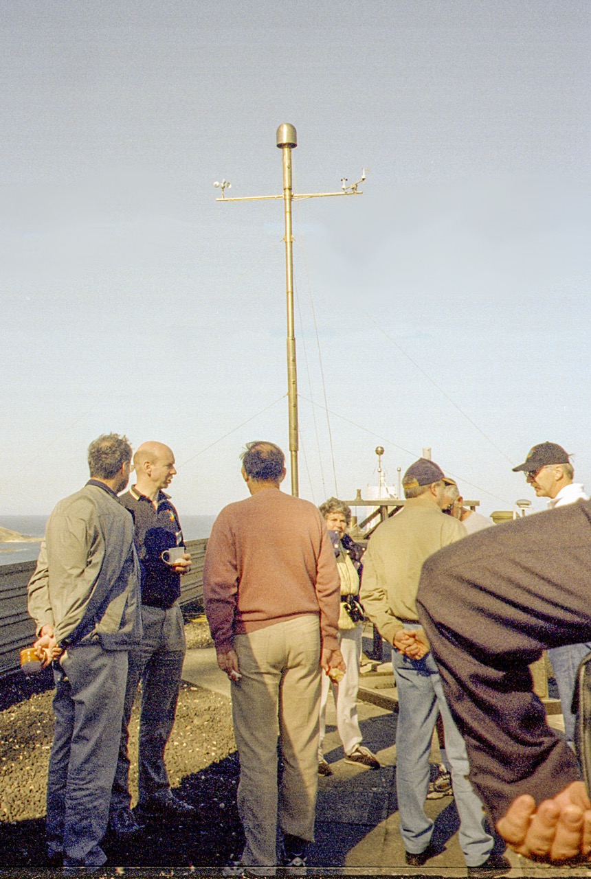
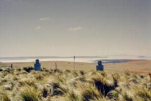
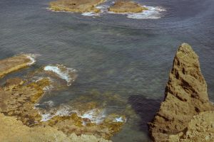
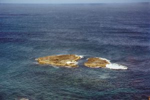
Photo Gallery: more Cape Grim Views…
On the way back to Hobart the coach stopped at the Table Cape Lookout which provided a panorama along the northern Tasmanian coast. There was a plaque stating that the founder of the Alexander Technique (of which Nicky had become a practitioner) had been borne nearby.
Photo Gallery: Table Cape…
[Previous: Going to Cape Grim] [Next: Mount field National Park]