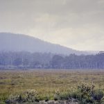
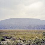
Lake St Clair and Franklin National Parks
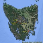 A significant fraction of the western half of Tasmania is preserved as National Parks. The Tasmanian Wilderness covers around one fifth of Tasmania’s total area and is a UNESCO World Heritage Site. It includes the Cradle Mountain-Lake St. Clair and the Franklin-Gordon Wild Rivers National Parks with the only access, apart from by river, being the Lyell Highway between Hobart and Queenstown.
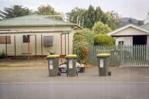 As I left Hobart it appeared to be the trash collection day and, apart from the patriotic green and gold wheelie bins, I was impressed by the degree of recycling undertaken with much of the trash sorted into a range of coloured containers.
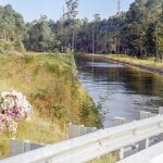
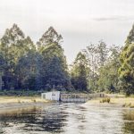
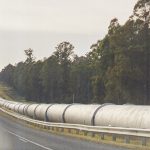
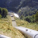
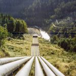
On the Monday I drove to Lake St. Clair stopping off on the way at the hydro-electric installation at Tarraleah. Water from various lakes and rivers is brought through canals and pipes to a point near the Lyell Highway where six pipes drop steeply down to feed each of six turbines in the power station situated in the valley below.
Photo Gallery: Tarraleah Hydro-Electric Station…
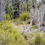
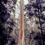
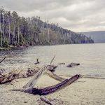
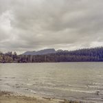
Lake St. Clair is at the southern edge of the Cradle Mountain – Lake St Clair National Park. I did a short bush-land walk there but had the impression that one would need to do the multi-day Overland Track to really appreciate the area.
Photo Gallery: Lake St, Clair National Park…
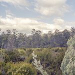
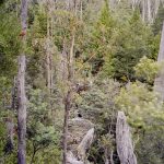
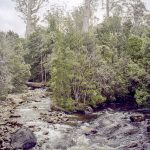
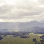
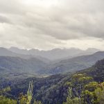
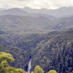
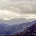
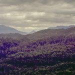
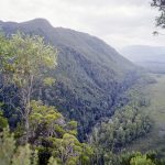
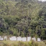
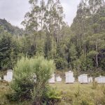
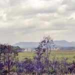
From Lake St. Clair I couldn’t resist going a little further along the Lyell Highway to look at the Franklin-Gordon wilderness area, albeit from the road side. Viewing an area of impenetrable wilderness area was a belittling experience! It was tempered a little when, in a clearing, I came across a group of beehives!
Photo Gallery: Franklin-Gordon Wilderness Area…
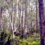
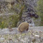
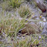
Driving back to Hobart one descends into an area of eucalyptus forests interspersed with bogs and marshland. I came across a spiny creature which I assume was an echidna. Along with the platypus they are the only living mammals that lay eggs.
Photo Gallery: Driving back…
[Previous: Mount Field National Park] [Next: Port Arthur]

